| . Hike Northbound through Britain with Daryl May Click for Southbound hike . |
|
|
|
| Central Scotland | |
Northbound Home Start hiking here English West Country English Midlands North of England Southern Scotland Central Scotland Scottish Highlands Southbound Home |
 |
| Overview of both
hikes Excerpts Statistics What others say Acknowledgments Contact me Copyright Links |
|
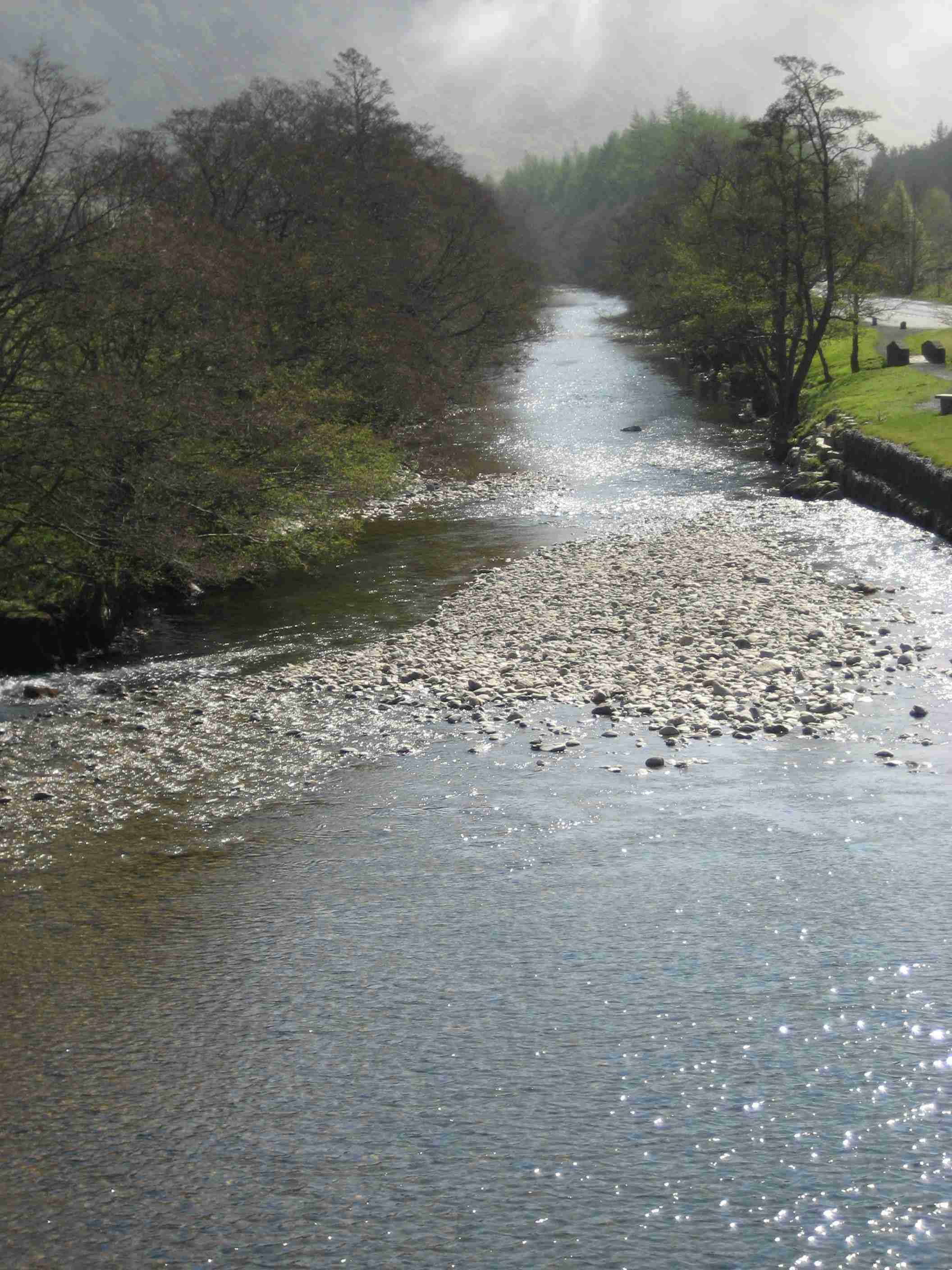
Bannockburn, and two Spanish ladies Chapelhall - Stirling More why's and wherefore's Stirling - Braco Into the wilds Braco - Sma' Glen In General Wade's footsteps Sma' Glen - Aberfeldy Hernia! Aberfeldy - Tummel Bridge |
|
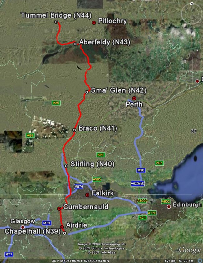
Central Scotland
map. Read from bottom up. For an idea of scale, each day's hike was
about 17 miles.
Click here for a zoomable map of this region. The map was produced using Google Maps and Google Earth. . |
|
 |
|
| . ©
2007- 2009 Daryl May
|
|