| Hike Southbound through
Britain with Daryl May Click for Northbound hike |
|
 |
|
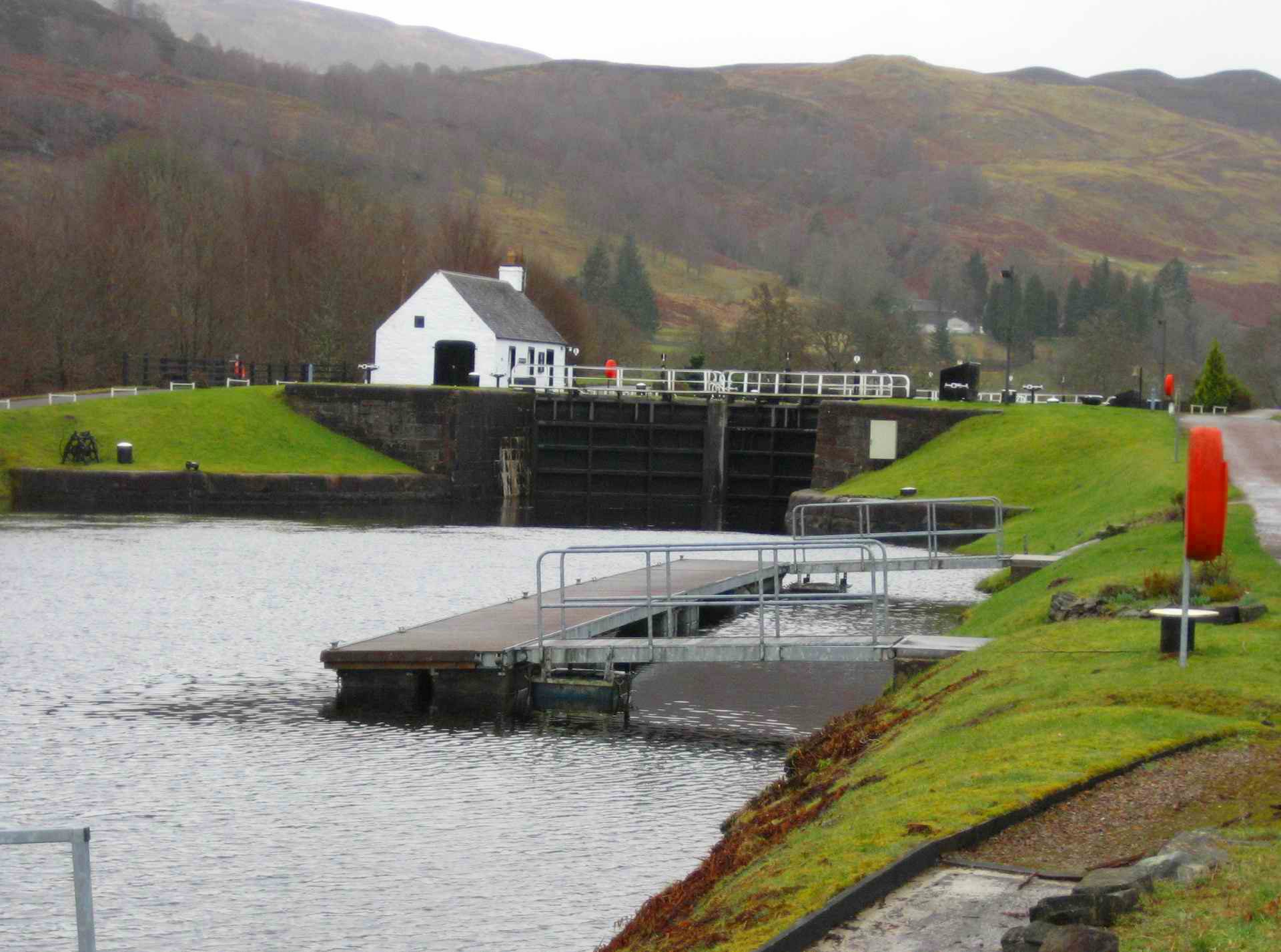
| Cullochy Lock
between Fort Augustus and Oich |
|
|
|
| Days S1 - S20 Scottish Highlands | |
| Southbound
Home Start hiking here Scottish Highlands Central Scotland Southern Scotland North of England English Midlands English West Country Northbound Home |
Thursday, March 6, 2008
Time of departure: 9.45 am Time of arrival: 12.45 pm Place departed: Fort Augustus, Highland Place arrived: Invergarry, Highland Miles: 8 Cum miles: 173.7 Percent complete: 17.9  Drynachan B&B,
Invergarry **** Drynachan B&B,
Invergarry ****Cost for bed and breakfast: £27 ($54) |
| Overview of both
hikes Excerpts Statistics What others say Acknowledgments Contact me Copyright Links |
|
 |
|
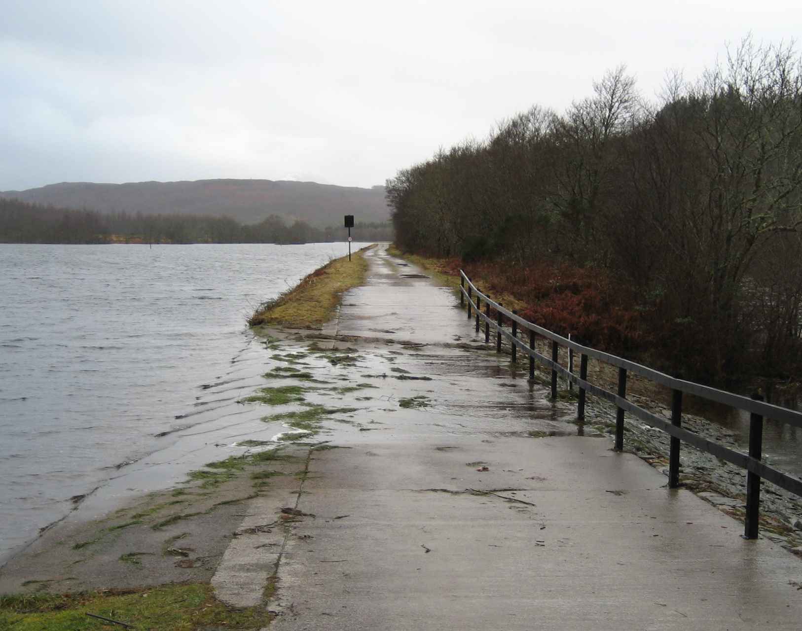
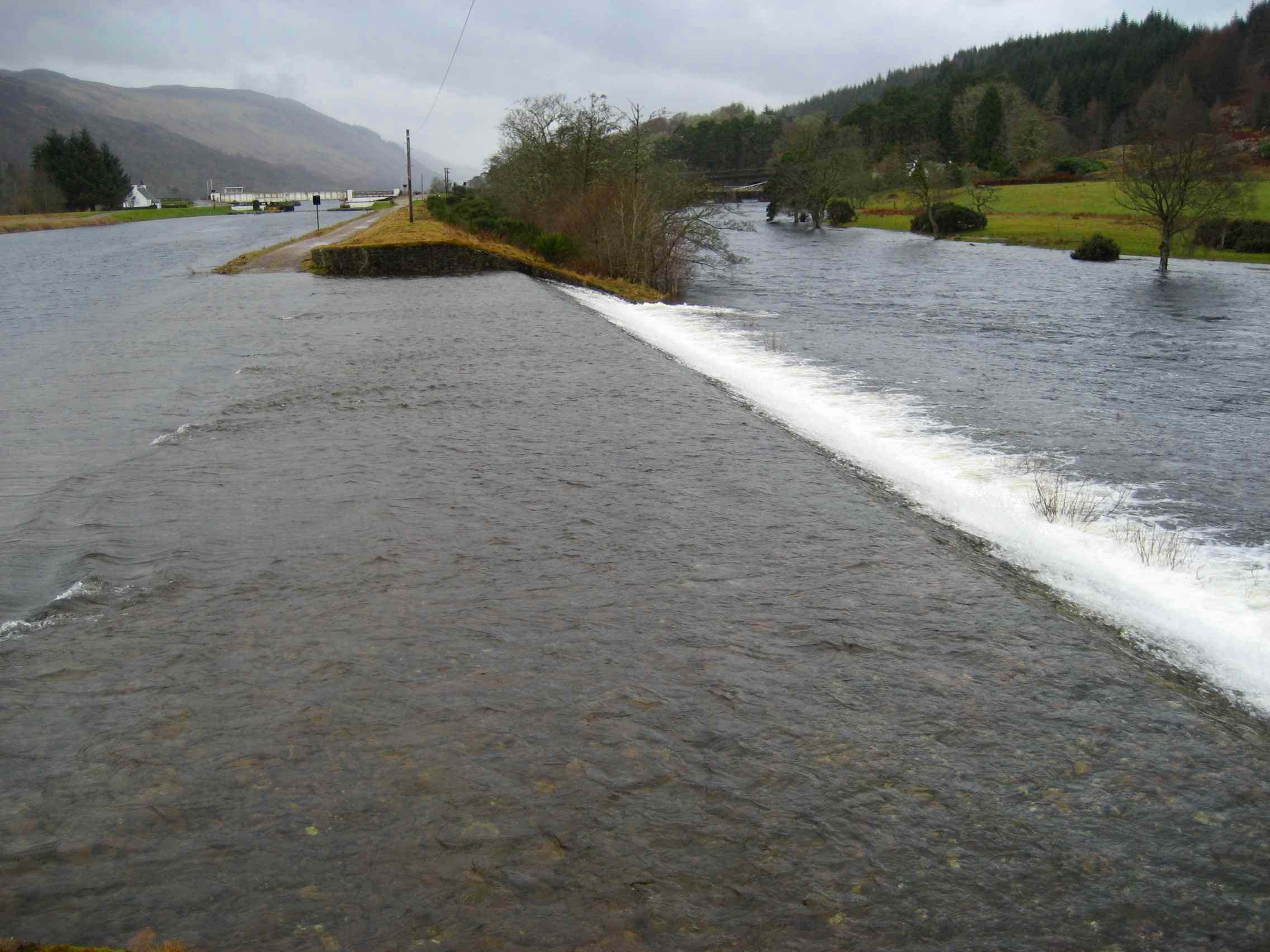
| Two weirs carrying excess water from the Caledonian Canal over its towpath to the River Oich. At this time, one was easily fordable - and the other was questionable in winter, so I didn't | |
 |
|
|
I set out jauntily from Fort
Augustus. I'd slept well, rested my feet, and subdued the swelling in
my ankles with an anti-inflammatory. Mike Buchanan of the Bank B&B
had proved to be an outdoorsman-extraordinaire. I had to wring out of
his modest disposition that he'd climbed all of Scotland's 284 Munros
(peaks greater than 3000 ft) - at least once. Incidentally, you don't
get to count as a Munro an adjacent 3000+ ft peak if it's close to the
first one or separated by similar-elevation terrain. So 284 means
everything that it implies.
Then I positively enjoyed striding along the towpath of the Caledonian Canal, which started less than a stone's throw from the B&B. The surface was flat and was also softer than a road. My feet didn't trouble me. True, there was a headwind, and the drizzle fell on my face. But neither of these was noteworthy. The
canal was completed in 1822. To be more specific than yesterday, it
links Inverness on the east coast with Fort William on the west, making
use of a line of deep, glacial lakes along a fault line: Loch Ness,
Loch Oich and Loch Lochy. Inverness has access to the sea on Moray
Firth, and Fort William on Loch Linnhe. This route, of about 60 miles,
cuts hundreds of miles off the route around the northern tip of the
Scottish mainland.
As I left Fort Augustus, it seemed I might have the company of two other hikers, men in their 20's, carrying "longdistance", i.e., heavy, packs. Nearing them, I noticed a spirit of dejection in their look and in their stride. My guess is that they'd been camping in the hills, and the overnight weather hadn't been kind. They were now in Fort Augustus to try to put Civilization back into their existence, starting with a visit to the public conveniences close to the locks. I didn't envy these fellows, and I reflected on the big "pluses" in my B&B existence: shelter, bed, bath, toilet, and breakfast, and heating thrown in. I shall try not to complain about a B&B again. I didn't see these guys again, but it seemed to me that they needed an industrial-strength dose of B&B. After Cullochy Lock short of the Bridge of Oich, I elected to stay on the north side of the canal even though the Great Glen Way signs instructed me to cross the canal at this lock and take the south-bank towpath. After all, my map said the north towpath would be fine, and even depicted it as a trail. But, just short of the Bridge of Oich, there was a weir between the canal and the adjacent River Oich, i.e., icy water from the canal ran over my towpath at a finite height and exceeding speed on its way to the river. I had walked across a weir earlier today, but this second weir wasn't fordable by sane people in current conditions. As you will have already concluded, this wouldn't normally apply to me, but on this occasion it did. I returned to the lock, crossed the canal there, then continued where I should have walked in the first place, on the south side where the signs pointed. South Laggan nicely splits the
distance between Fort Augustus and Spean Bridge, tomorrow's
destination. But, having failed to book accommodation at South Laggan
last night, I booked short of that village in Invergarry. And that I
also got wrong, in that the Drynachan
B&B has an Invergarry postcode but is well before
the town. Thus an easy day today will give me a harsh, 17-mile one
tomorrow.
I stayed with Neville and Sonia Robbins in their 17th century Grade C listed property in which the famed Bonnie Prince Charlie once spent the night - perhaps. These folks moved here from my college town of Southampton in 2006, so we have lots to talk about. Neville has taken up wood-turning, and has a public gallery in the back. It's always nice to see people fulfill their dreams. As I write this, Sonia is also fulfilling one of my dreams by putting my clothes through her washer. (Ever wonder why clothes go "through" a washer?) She's probably washing them in that brown water that seems to permeate the Scottish water supply, thanks to Pete. Upon further enquiries, it appears that Pete has something to do with the whisky business. Of course, whisky is brown like the water . . . I'm not stupid, and I'll get to the bottom of this before long. For example, I've been wondering whether the Scots pour whisky into the water supply. But that's not like the Scots whom I know. A more likely explanation is that they make whisky by distilling dirty bathwater or dirty laundry water. (I guess they'd call it "blended" when made from both?) As I say, I'm committed to solving this mystery, before or after I've tracked Pete down. |
|
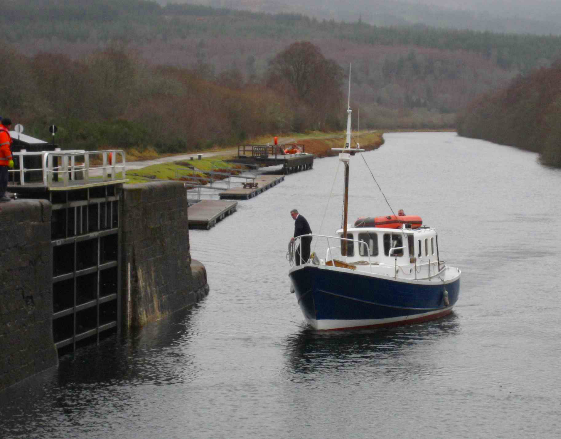
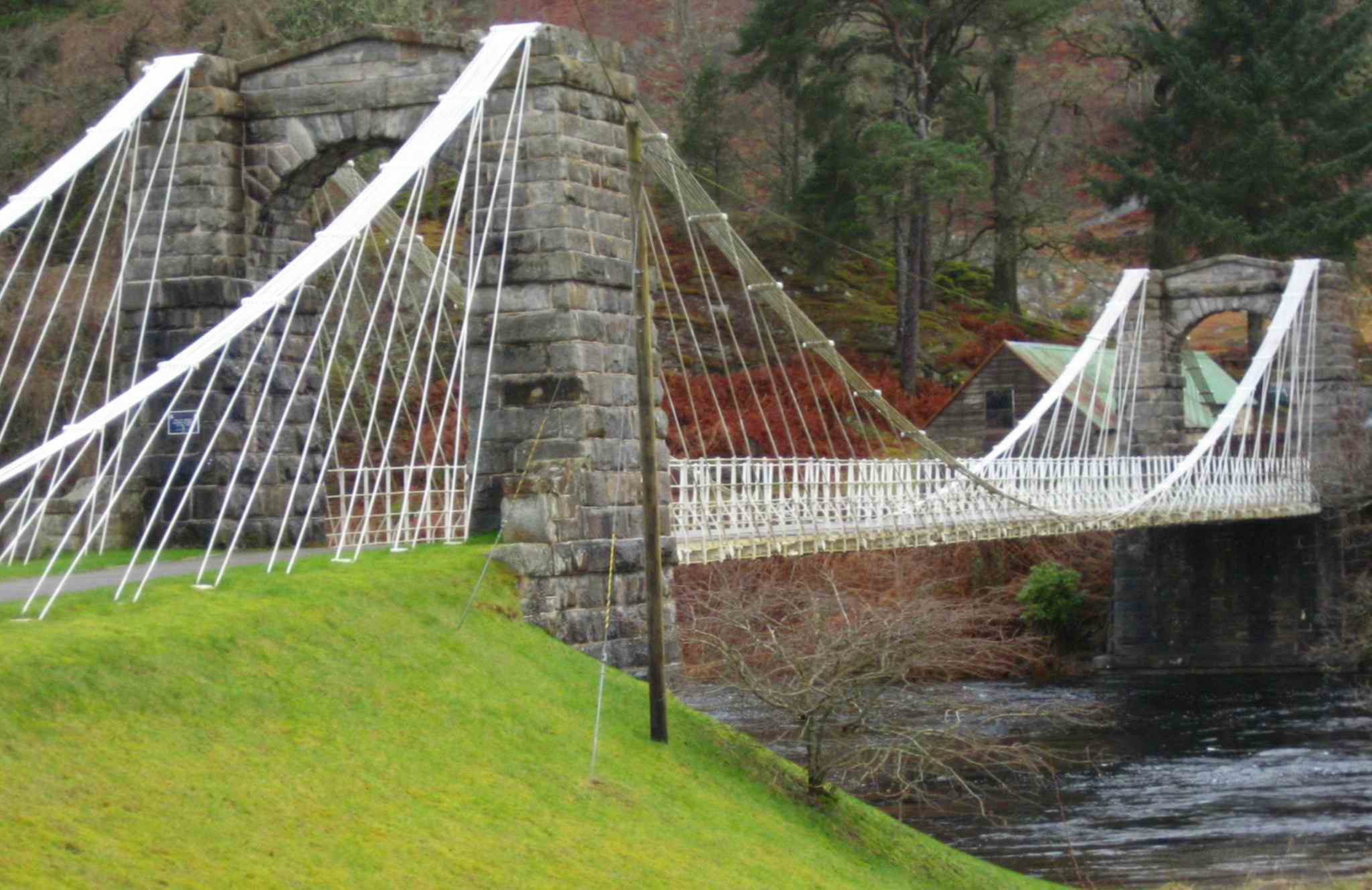
| Bridge of Oich | |
 |
|
| Day S12 © 2007 and 2008 Daryl May Day S14 | |