| France intro < Previous page Next page > |
Day 16 - Mileage math
|
| March
18, 2010
Lamagistère to Agen
14
miles |
 |
 |
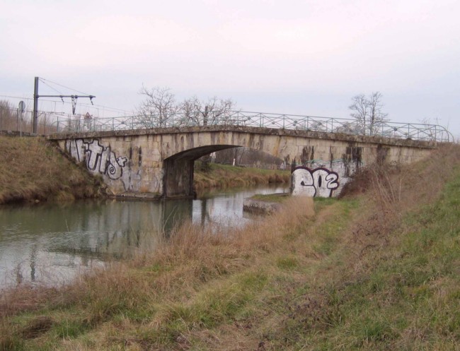 |
| This illustrates my earlier remark that the "Canal Lat" is not as pristine as the Canal du Midi |
| I
took an anti-inflammatory last night, after the weight of the
bedclothes on my big-toe kept reminding me to take care of it. It was
much better by morning. I also dressed some blisters, which experience
has made me proficient at. Perhaps for these reasons, I had a pretty
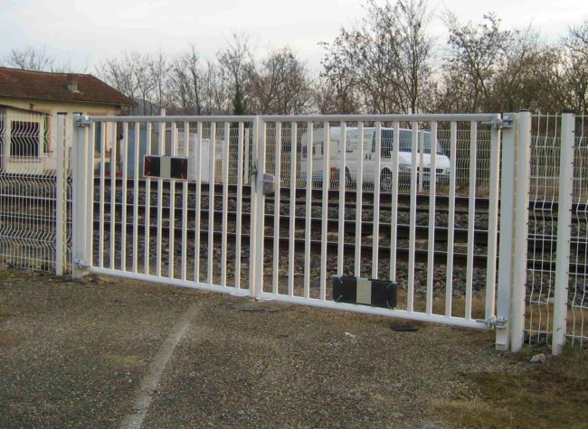
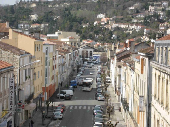
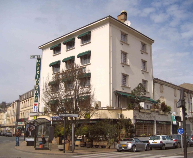
easy fourteen miles to Agen. But they started badly. My country lane to the canal had to pass over rail lines. The roadway was interrupted by a locked gate. Evidently, it was too small a country lane for automatic gates. The TGV runs on these tracks, and I figured that the gendarmes would take a poor view of someone climbing a gate to get over a TGV track. In the picture, the van beyond the tracks is parked and not waiting for the gates to open. The backtrack took me through some woods where I saw two, quite large deer. Conditions were perfect. Warm enough for hiking, with a faint following wind. All the same, it felt all day like it might start to drizzle, and there remains rain in the forecast for the weekend (today is Thursday). Arriving in Agen, a significant city, I found a hotel not far from the station. My thoughts are to stay a few days here and walk without the backpack, using the train to stage me and bring me back. This is partly because there's precious little accommodation along the Canal Lat for the next few days, so I'm probably going to have to find it by diverting to towns which are on the rail line anyway. When my feet are in good shape, my backpack is my worst body irritant, and I know I'm going to enjoy hiking much more without it for a day or so. It's not, of course, just the static weight of the pack that's the problem. When we walk, our shoulders rise and fall and the pack must too. Our body reacts to those loads. The shoulder straps dig in, and I bruise. All the same, I am sure many people my age and build can carry a 25-lb pack effortlessly. I have tried every strap adjustment possible, and I just am not one of those people I am very happy with my Eddie Bauer jacket. It breathes well, and has worn well. Its pockets are in exactly the right places. All four exterior pockets, and the interior one, are clear of the backpack straps. I can grab my PDA with the maps in a second or two and switch it on that fast also. My camera, phone, and notepad are each in exterior pockets, and nearly as accessible. The zips work well. The jacket closes around my neck nicely when it's windy. I haven't used the hood because it's never rained enough, but it's there. On my mind recently has been the question: where could this hike logically end? I concede that I'm looking to redefine it from the Atlantic coast. I'd like to have more time to enjoy French life off the trail. The mileage situation at my current location of Agen looks about like this. Distance already walked from Agde-start to Agen 210 miles 340 km (16 walkdays, 20 elapsed days) Agen to Castets-en-Dorthe 53 miles 85 km (4 walkdays) Significance: Canal des Deux Mers ends here, where it empties into the Garonne. From then on, the river has no locks and is actually tidal nearly a hundred miles from the sea. Agen to Bordeaux 85 miles 135 km (6 walkdays) Significance: Major seaport, usually considered the end of this hike and of the inland waterway. Agen to Soulac-sur-mer 145 miles 235 km (10 walkdays) Significance: Completes "Mediterranean to Atlantic" at the mouth of the estuary which runs to Bordeaux. Note: One could also end on the Atlantic at Arcachon, saving 25 miles. I won't make any change from current plans yet. |
 |
 |