| Hike Southbound through
Britain with Daryl May Click for Northbound hike |
|
 |
|
 |
|
|
|
| Days S33 - S43 North of England | |
| Southbound
Home Start hiking here Scottish Highlands Central Scotland Southern Scotland North of England English Midlands English West Country Northbound Home |
Saturday,
March 29, 2008
Time of departure: 9.30 am Time of arrival: 3.45 pm Place departed: Kirkstone summit, Cumbria Place arrived: Kendal, Cumbria Miles: 15.5 Cum miles: 487.2 Percent complete: 50.2  Sawyers Arms, Kendal **
Cost for bed and breakfast: £27.50 ($55) |
| Overview of both
hikes Excerpts Statistics What others say Acknowledgments Contact me Copyright Links |
|
 |
|
 |
|
| . Hobson
doesn't walk in the dry. He
launches himself when it rains, with the aplomb of an elephant on water
skis. That, at any rate, is how yesterday turned out. The weather
turned dry only after the day's walk was over.
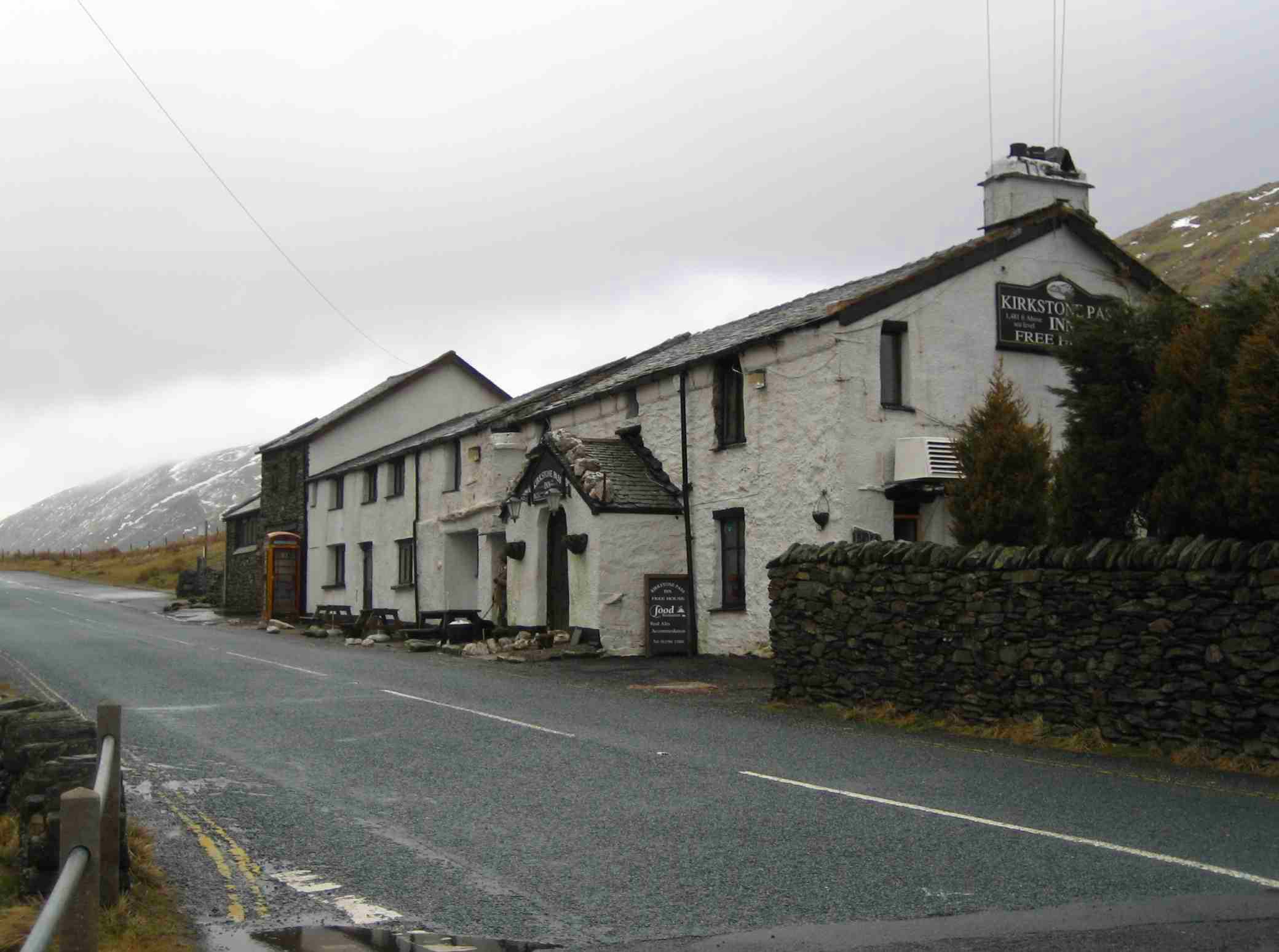
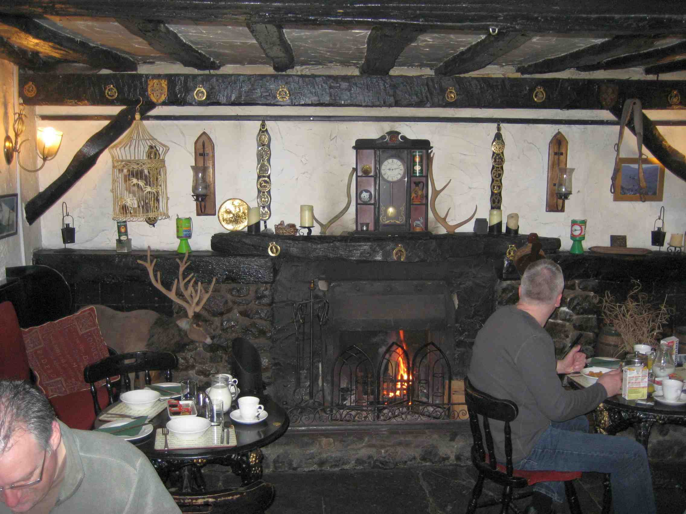
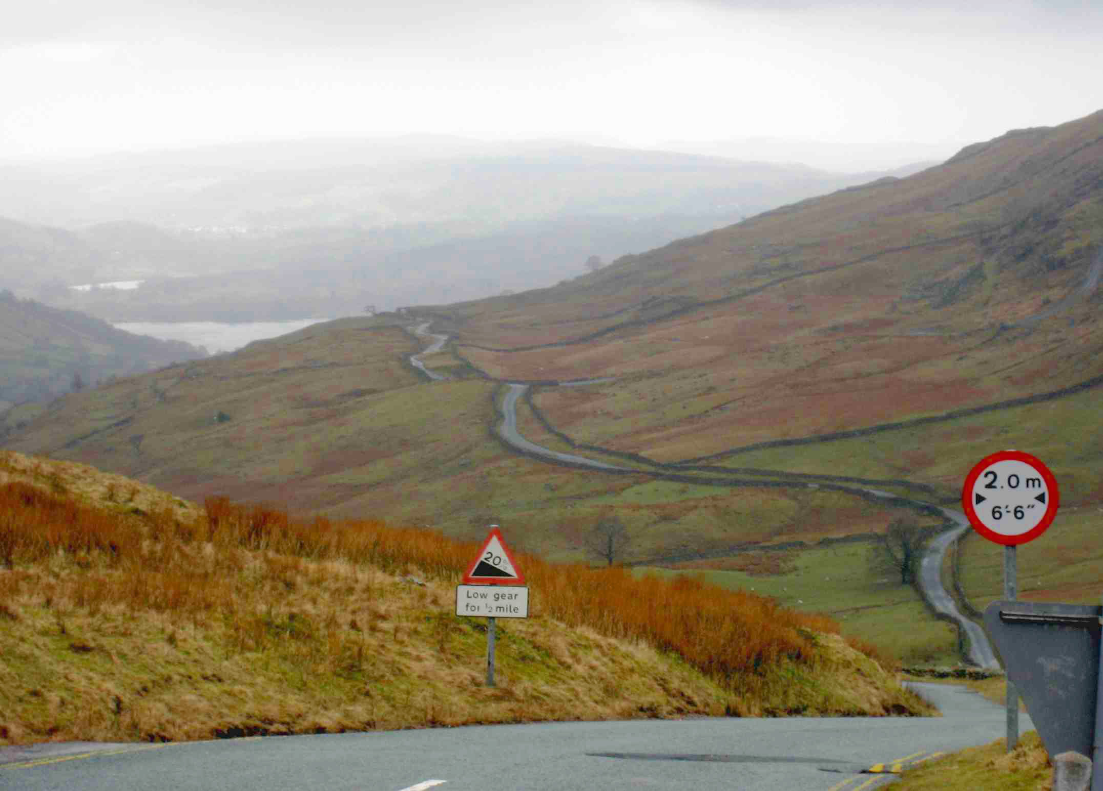
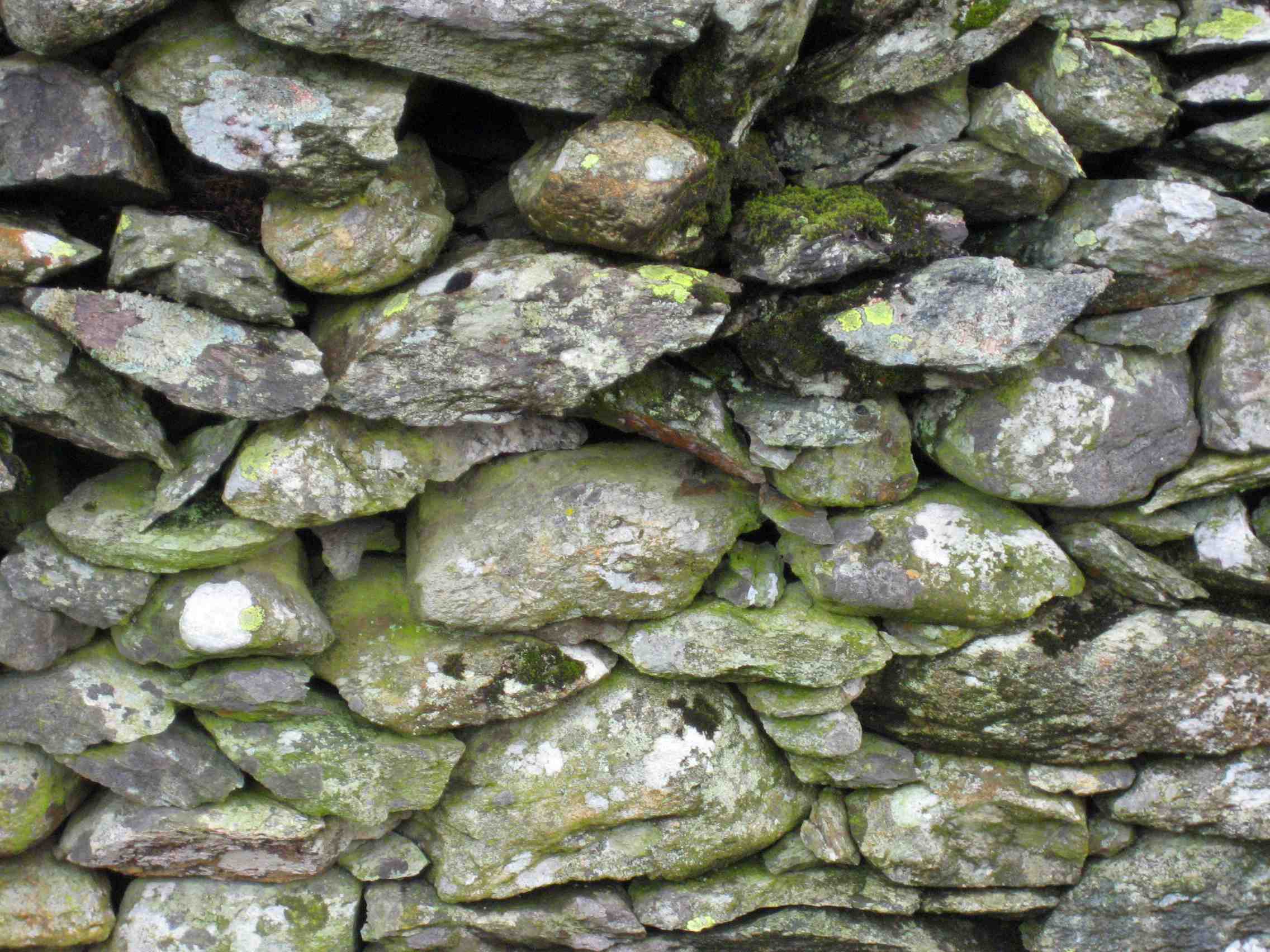
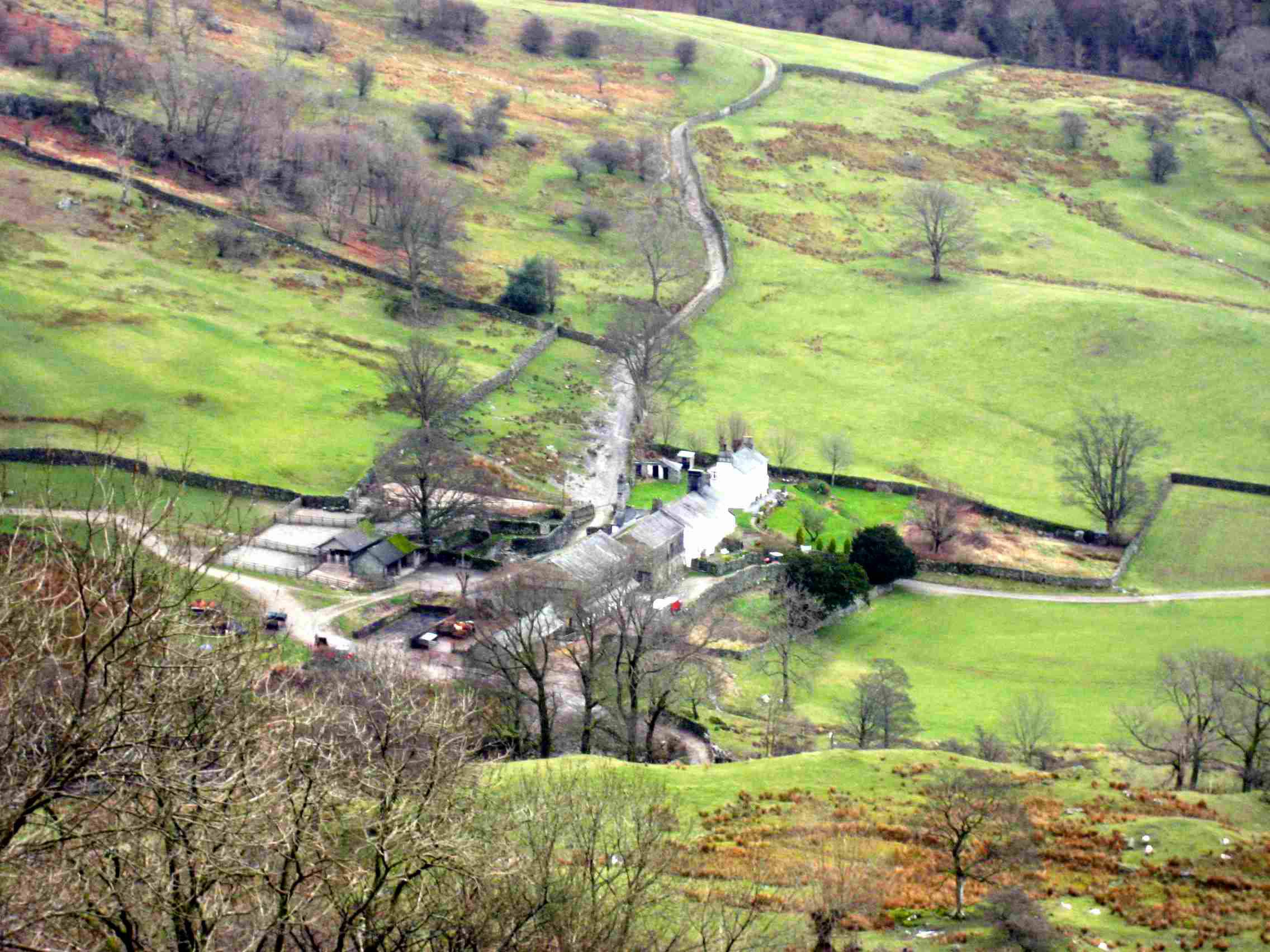
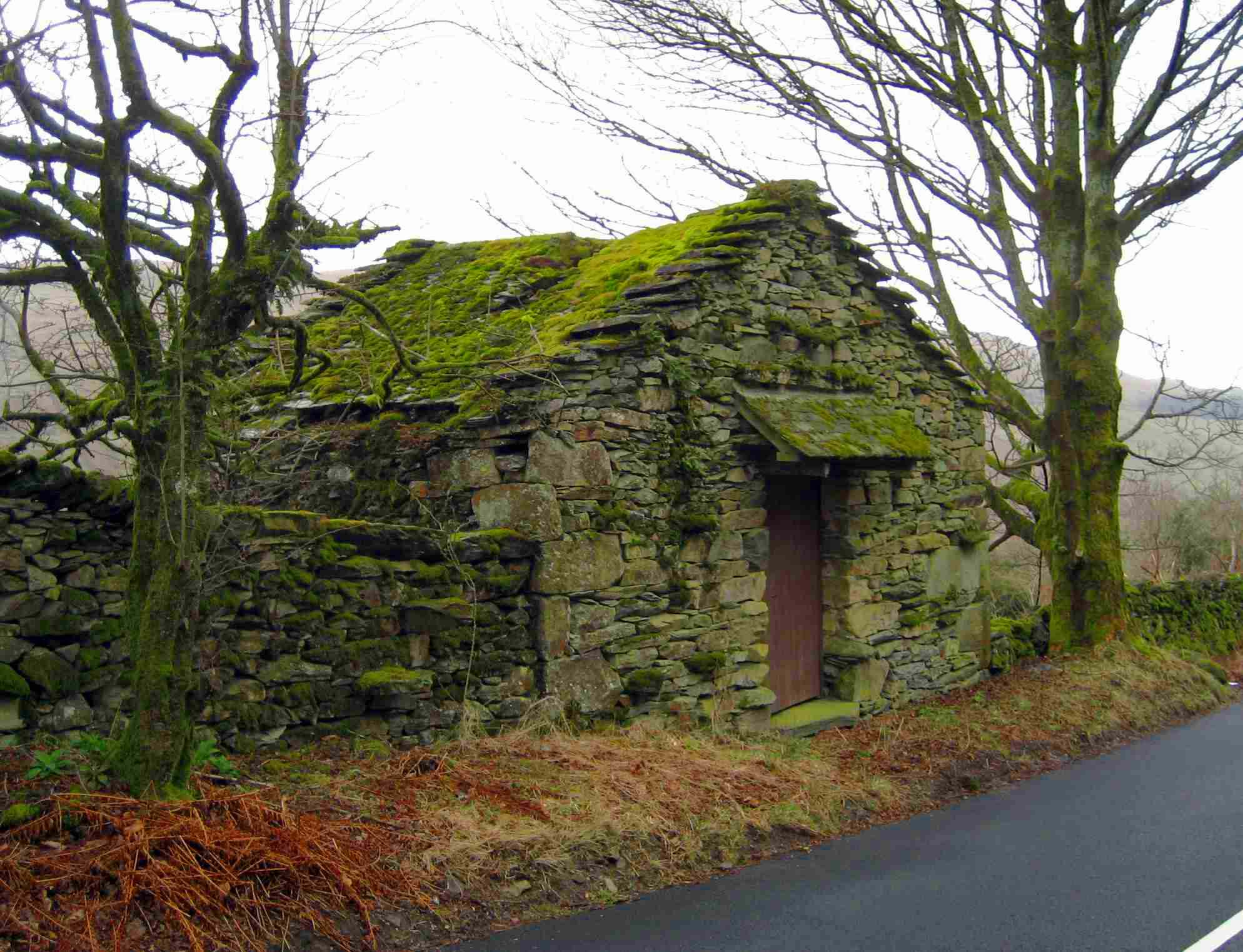
But today started dry. In fairly good visibility, I could see Lake Windermere as I walked down the south side of Kirkstone pass. Then I hung a left near Fusethwaite Yeat, where it started to rain. I took mainly backroads all the way to Kendal. Here I finished my brief Lake District jaunt, and at the same time passed the halfway point of the entire hike. The map shows how loved the Lake District is. Names have been given to nearly every feature, large and small. Within a very few miles of today's start were Snarker Pike, Raven Crag, Broad End, The Struggle, Middle Dodd, John Bell's Banner, Lord's Seat, and Gavel Pike. The area as a whole has several hundred such names, all with a history. Hikers and bikers (I have met several here) will talk of where they've been, referring to places like these, and their audience will probably understand. As I mentioned heading north, the halfway point seems less significant than the two-thirds point. It's good to have progressed this far, but the distance-to-go still seems enormous. In terms of hills, however, the high ground is mostly behind. There are 350 miles of flatlands and gently-rolling hills immediately south of here. Only over the final 150 miles in the "west country" (southwest England) will the ups and downs be really formidable again. It drizzled from noon, but I stayed somewhat drier than yesterday. Perhaps there's just a certain amount of rain that my jacket and boots will handle, and I didn't reach much beyond that point today? But after passing through Stavely, the wet had accumulated, and I reckoned that I should find a pub and dry out. So I entered the Jolly Anglers in Burneside, which was too cold to do much drying. But, wondrously, the rain had stopped when I left, and it held off until I reached Kendal. Now I've learned the Strongbow method of rain control. |
|
 |
|
 |
|
| Day S35 © 2007 and 2008 Daryl May Day S37 | |