| Hike Southbound through Britain with Daryl May Click for Northbound hike |
|
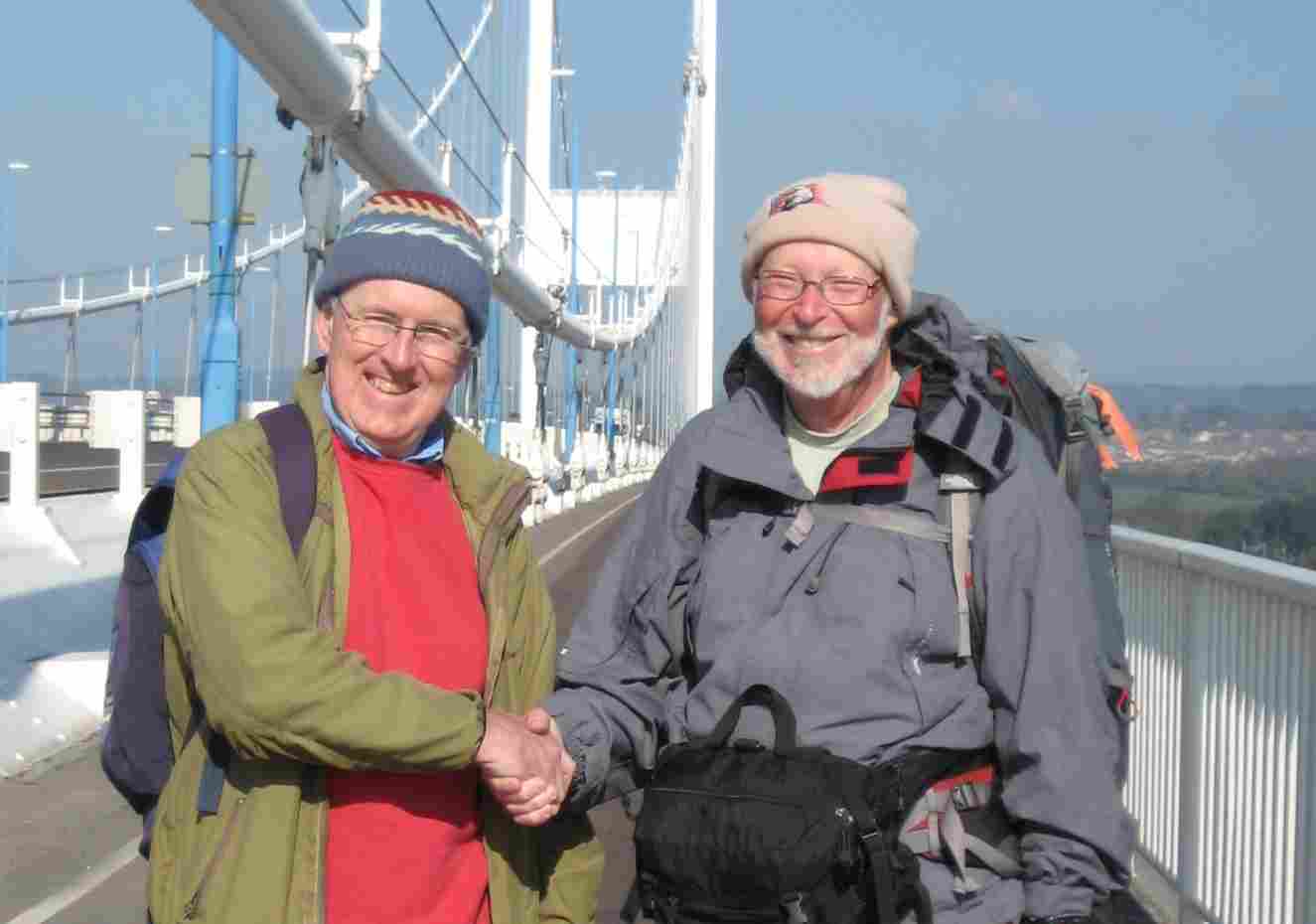
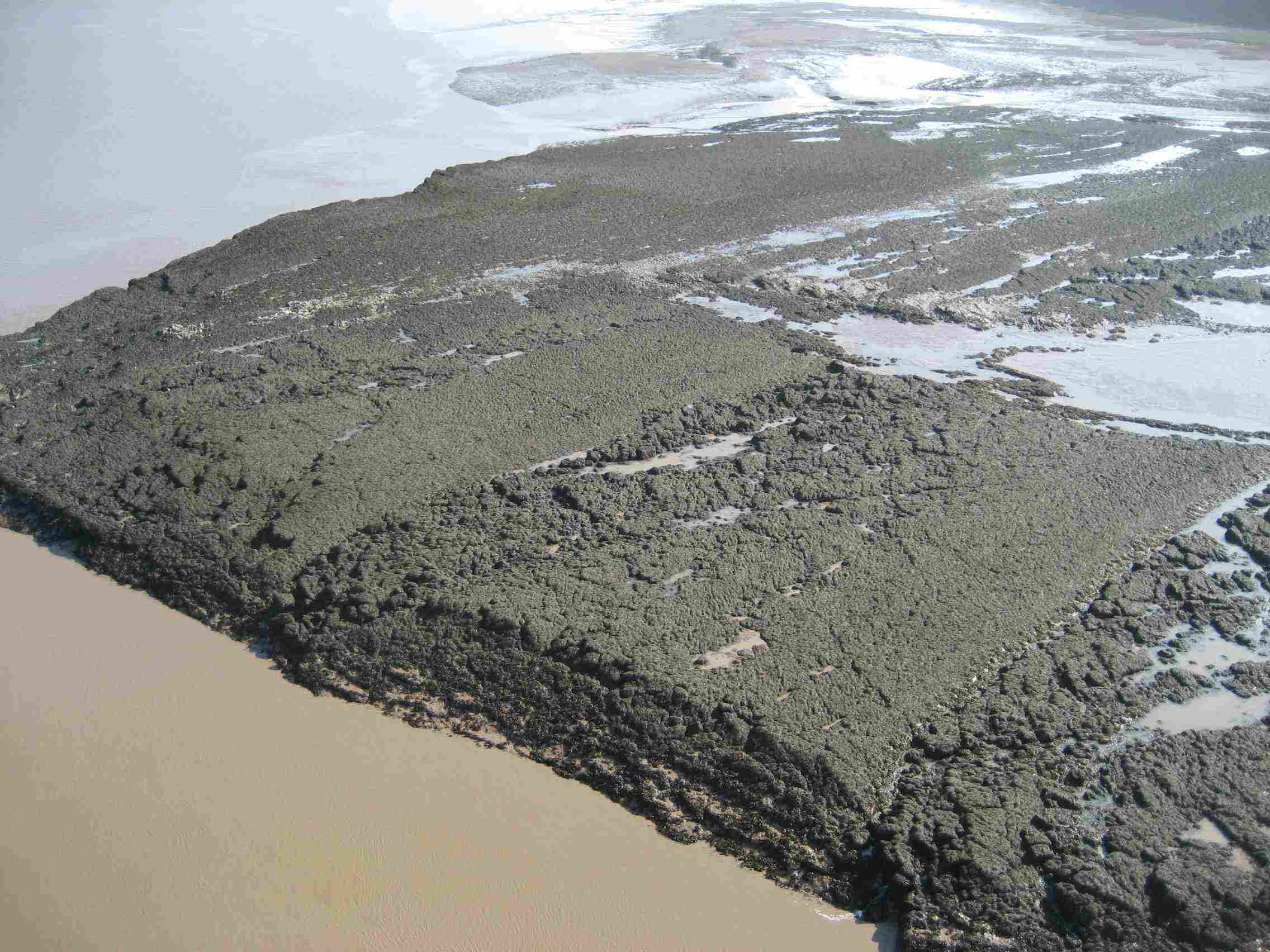
| Bill Williams and I on the Severn Bridge, shot by Jennie Williams. The mudflats on the Severn are as seen from an estimated height of 150 ft | |
 |
|
 |
|
| Days S44 - S52 English Midlands | |
| Southbound Home Start hiking here Scottish Highlands Central Scotland Southern Scotland North of England English Midlands English West Country Northbound Home |
Tuesday, April 15, 2008
Time of departure: 8.15 am Time of arrival: 4.15 pm Place departed: Chepstow, Monmouthshire Place arrived: Portbury, N. Somerset Miles: 17.5 Cum miles: 749.2 Percent complete: 77.1  Days Inn, Gordano Service Area M5 *** Days Inn, Gordano Service Area M5 ***Cost for bed and breakfast: £56 ($112) |
| Overview of both hikes Excerpts Statistics What others say Acknowledgments Contact me Copyright Links |
|
 |
|
 |
|
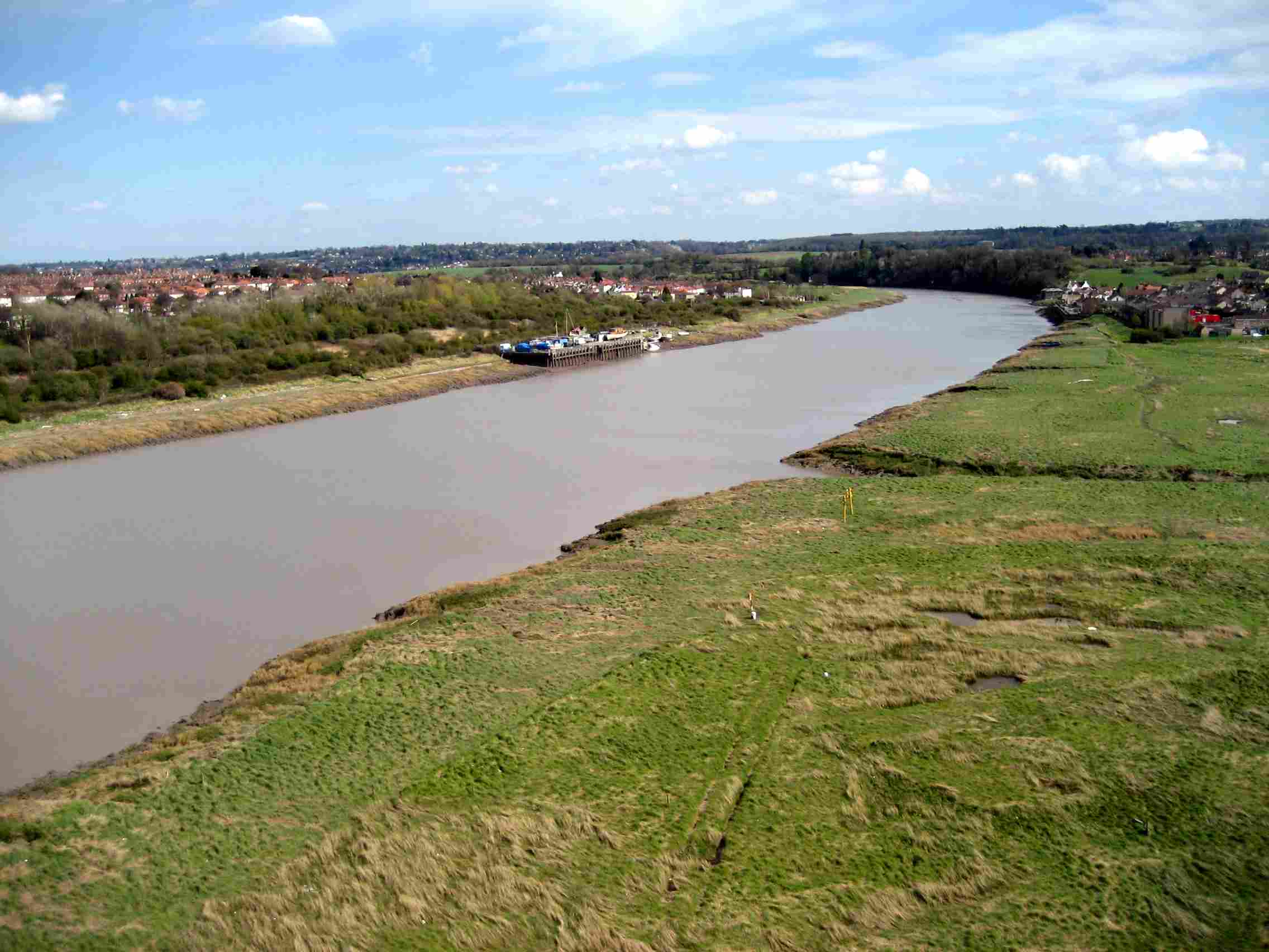
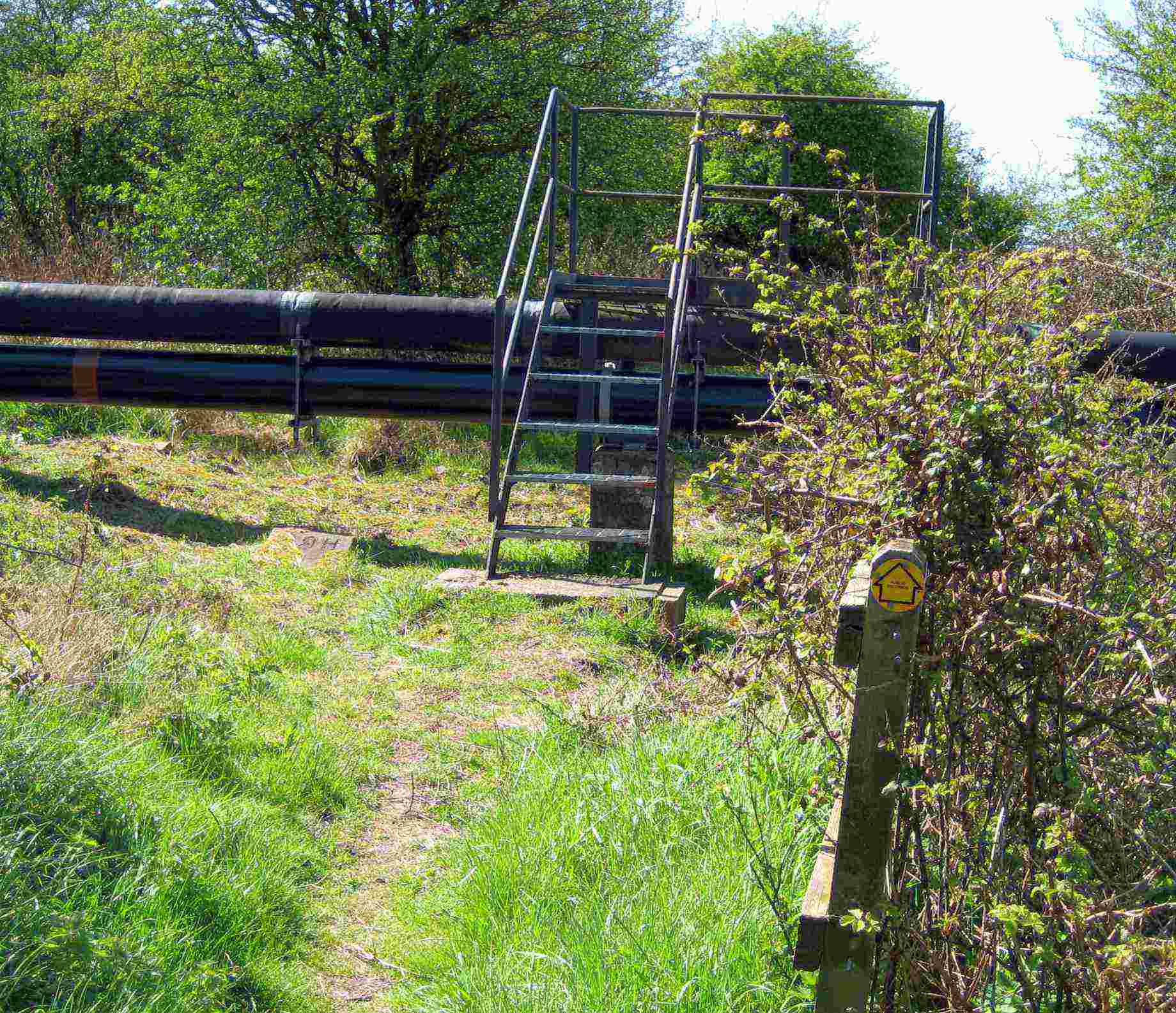
| Crossing the Avon at Avonmouth, looking inland (east); and steps over oil lines on the Severn Way in the same area | |
|
.
The Coach and Horses in Chepstow is a well-maintained and run pub,
contrasting pleasantly with Monmouth's Queen's Head. My room was truly
non-smoking, and there was plenty of hot water. The radiator dried my
clothes, and the bedside lamp seemed electrically safe. There was
evidence of maintenance in the form of taps that didn't lift out of the
sink, stairs that didn't smell of smoke and curry, and new screws
securing the towel rack to the wall. In contrast there were plenty of
loose screws at the Queen's Head.
I could see the towers of the Severn Bridge yesterday from the tree-canopied A466 high on a hill north of Chepstow. Crossing the mouth of the Severn, which is an estuary here, it's a suspension bridge with a one-mile center span, and end-spans and approach roads that make the whole crossing a three-miler. Soaring to a significant height, winds could add to the challenge. Fortunately there's a dedicated bike and pedestrian track, and today was calm and sunny the entire walk. Bill Williams joined me again today, with his attractive wife, Jennifer. We met at the approach to the bridge, and headed east, across first the Wye and then the Severn with exposed mudflats at low tide. The pedestrian and bike track is also the access route for maintenance, and we paused to examine the bridge innards where people were painting. The suspension cables are slowly rusting after forty years, so they're now wrapped in tubular ducts through which dehumidified air is pumped. Bill has climbed Mt. Kilimanjaro, and also attempted the three highest peaks in Scotland (Ben Nevis), England (Scafell) and Wales (Snowdon) in a single 24-hr period - not quite successfully because the time of year wasn't right. I bet he succeeds next time. We photographed each other, and I'm especially glad to have a few photos of myself, since I don't often have anyone around to take them. I certainly look a sight in orange overtrousers, carrying a backpack and bellypack, and wearing a woollen hat that exposes a sunburned face with a white beard. When the Williams peeled off north to a service area, I peeled off south to get to Avonmouth. Almost immediately, I spotted a man by the roadside in a strange parking area, and met Don Gray, my latest supporter of many, who gave me a nice cuppa as we chatted. Don is an end-to-ender as well as a TGO Challenger, and as strangers united by hiking, we immediately could relate to things like pack-on and pack-off rests. What my advancing years were unable to relate to was his 33-mile day from Taunton to Exeter when nearing the finish of his end-to-end. He also did the hike southbound, which is the unusual way to do it. I must ask him why. For now, I'm just so grateful for the support, and amazed how far people generously drive (at an astounding $8 per US-gallon, by the way), and by their skill in finding me. They're inferring my route from cryptic indications on my website. Avonmouth is not a pretty place. It's got more than its share of industrial blight, a reminder of why people take to the great outdoors when they can. I did find an attractive bike track through a country park near a power station at Crook's Marsh, and then took to the Severn Way for what I hoped would be a mile or so of peace and quiet, but it was marred by litter, pipelines, thornbushes, 2-ft deep foot-traps, and the like. Entering Avonmouth itself, there was no alternative but to walk near trucks and dust in an industrial estate. A motorway (M5) bridge is the only way to cross the Avon here. I was able to pick up a pedestrian walkway on the motorway's edge by heading for the bridge's beginnings to the north. The bridge itself is a significant one-miler, and the footpath ends in rural nothingness on the south side. I called local B&Bs and found no rooms. So, following my maps, I zigzagged on paths and lanes, to enter the M5 Gordano service area from the back, and was glad to find a Days Inn. Here, also, receiving incoming calls was a problem, but they managed to operate their phone system in the end. |
|
| Day S51 © 2007 and 2008 Daryl May Day S53 | |