| Start
Intro
Day
A12
Day A14 |
| Day A13 - Hard day to
picturesque Cassis |
| March 10,
2013
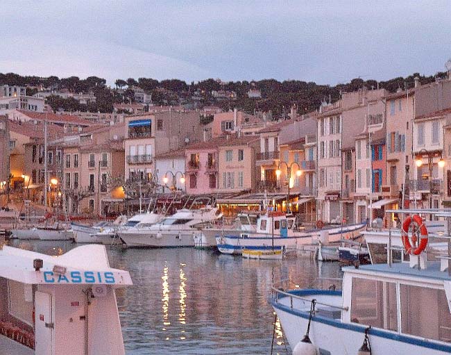
Saint-Cyr-sur-Mer to Cassis
14 miles |
 |
|
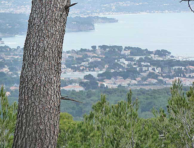
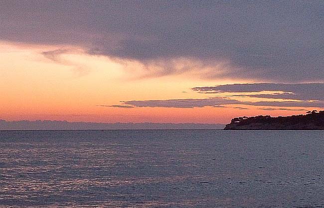
Above, looking back
at La Ciotat
(nearby) and Saint-Cyr-sur-Mer
(in the distance) where I started today.
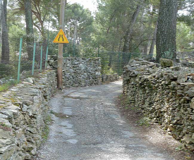
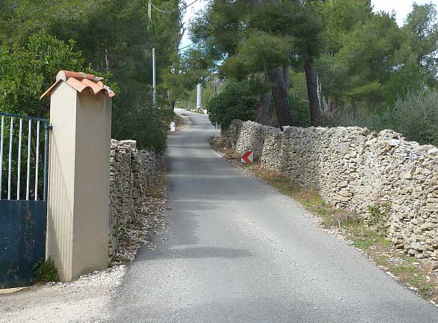
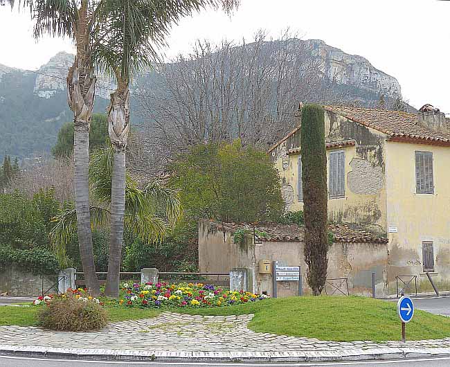
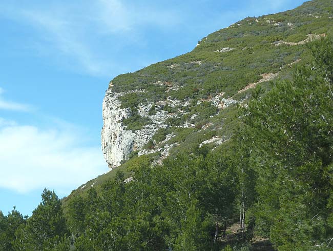
The shots below depict a steep walk up chemin Saint-Loup to the cliffs which look down over the town of Cassis. The scene with flowers looks up at this cliff after reaching the town. |
 |
 |
 |
 |
 |
|
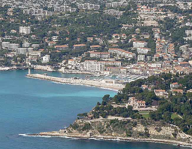
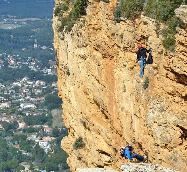
The weather was actually warm today - warm enough to realize that I needed far fewer clothes than I was dressed in. I was a sauna on legs. But, as before, my 10 miles today became 14 miles. Two of the extra four arose electively as I'll explain, but the last two were because direction signs in my destination city of Cassis were devised to make cars rather than hikers follow one-way streets, avoid pedestrian areas, and access the town's few parking lots. I followed the car route rather than access my maps. Cassis is an enormously popular, picturesque little port, confined within a small area at the foot of seriously-steep hills on all its land approaches. Traffic is a problem. Today, which has been a sunny springtime Sunday, Cassis was filled with more humanity than it could gracefully handle - until the evening when it faded away to the big city (Marseille), and I enjoyed Cassis' peaceful side. But, to return to the start of the day . . . After two serene miles of waterfront in Saint-Cyr - passing by a peaceful grey sea shared by winged- and human early-birds - the road swung inland, and I knew it was going to climb quite impressively. In fact, when about five miles from my start, I swung on to a very steep shortcut off the D559. The shortcut carried almost no traffic compared with the main roads. It included a long stretch called chemin Saint-Loup, which eventually got so steep that I was passed by a delightful young lady "NG" who broke her stride and stuck with me despite my frequent rest pauses. I had covered 7 miles by then, but she would have passed me even if I had not. At the top of Saint-Loup, she encouraged me to detour to a set of popular observation points at the top of a set of cliffs, over 1000 ft above the sea and Cassis' quaint port. You can see these observation points on the map about 1.5 miles (as the crow flies) southeast of Cassis. Near here we came upon a wild boar, just far enough away to pose no threat. |
 |
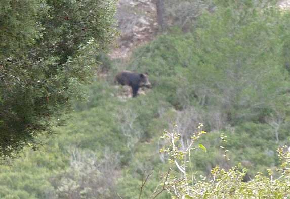 |
| Atop the cliffs, there was even
higher terrain - and a wild boar |
|
Hot and tired from my upward exertions, and having said goodbye to NG, I now faced the descent to Cassis down a very steep set of roads with an almost-unparalleled 30-percent downgrade for a whole mile. Fortunately, the surface was dry or I might have reached Cassis earlier than my 4 pm arrival. I am used to thigh and knee pain on downslopes, but this was severe enough to add backpain. The extra distance and effort claimed the last of my water supply, and I was happy to find a minimart open on Sunday where I bought and consumed two whole liters of orange juice. Dinner was a mountainous serving of moules (mussels) in leaks and leak broth, followed by salmon with vegetables. And, ooh, two scoops of vanilla ice cream. I think I reached the halfway point of the Part A route today. |
|
A
word about photographs. When there's lots worth photographing
and the
weather is conducive and
I'm energized, I snap away with gusto. But, at
other times, I don't. Even if a scene is interesting, I may wait in
vain for a better one. So you'll find days with many shots, and some
with very few. Today I took a lot of photographs.
|
 |
 |
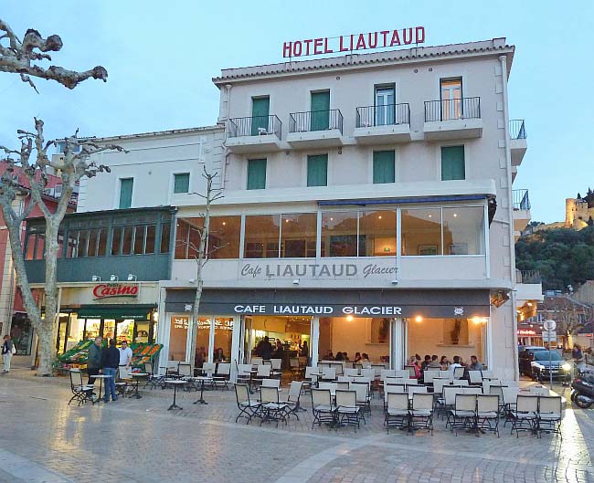 |
| At the old port. My parents
honeymooned at this hotel in the 1930s. |
| Start Intro Day A12 Day A14 |
© 2013 Daryl May |