| Start
Intro
Day
A1
Day A3 |
| Day A2 - Never trust
a local |
| February
27,
2013
Mala, Cap d'Ail to Beaulieu-sur-Mer
6 miles |
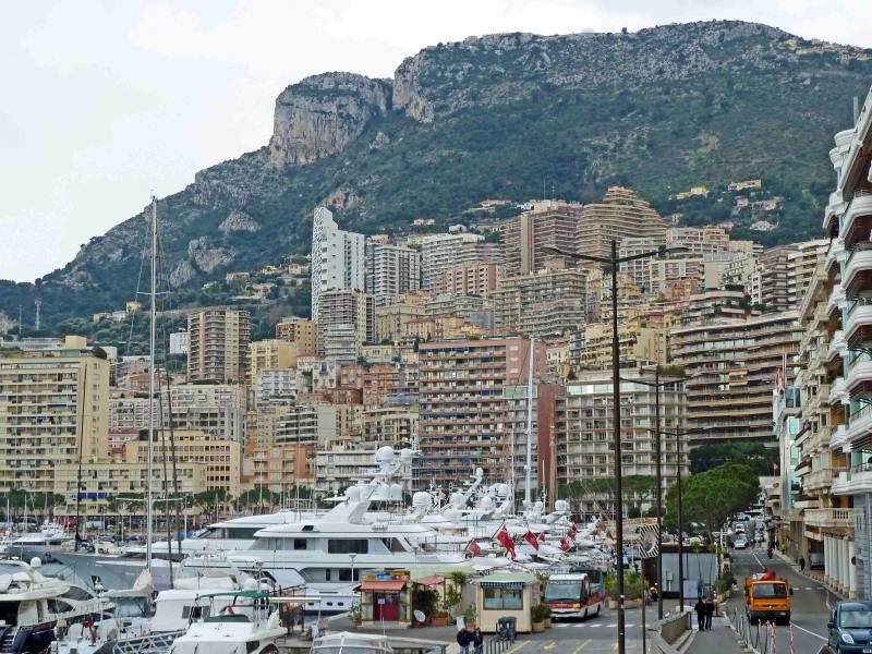 |
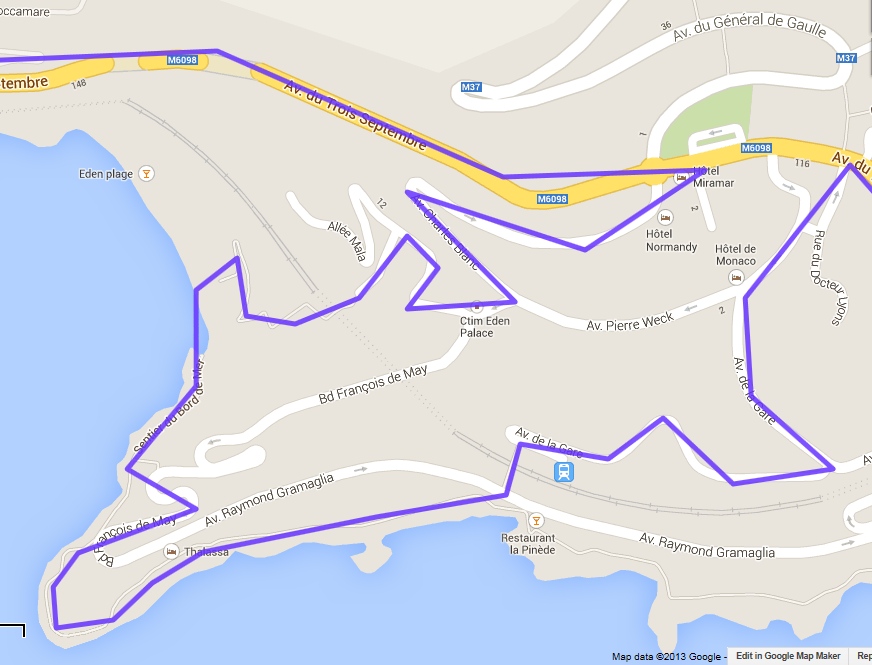
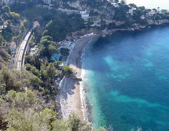
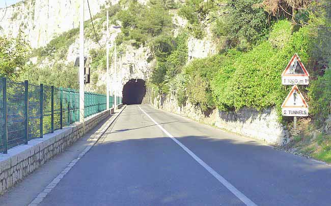
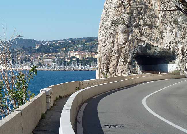
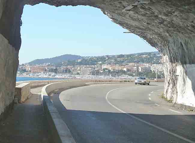
Above, Monaco port scene with Cap d'Ail Below, the Google map portion west of Monaco and Cap d'Ail shows my actual route in blue, indicating an unnecessary 250 ft descent, and 250 ft climb, and extra mile or two of serious effort, when the topography left of Eden plage proved impassable. I could have just stayed on the"yellow" highway The photo below the map looks south from the highway down to Eden plage and illustrates in hindsight the impossibility of climbing up to the highway here The several other photos were taken along the highway to my night stop of Beaulieu-sur-Mer |
 |
 |
 |
 |
|
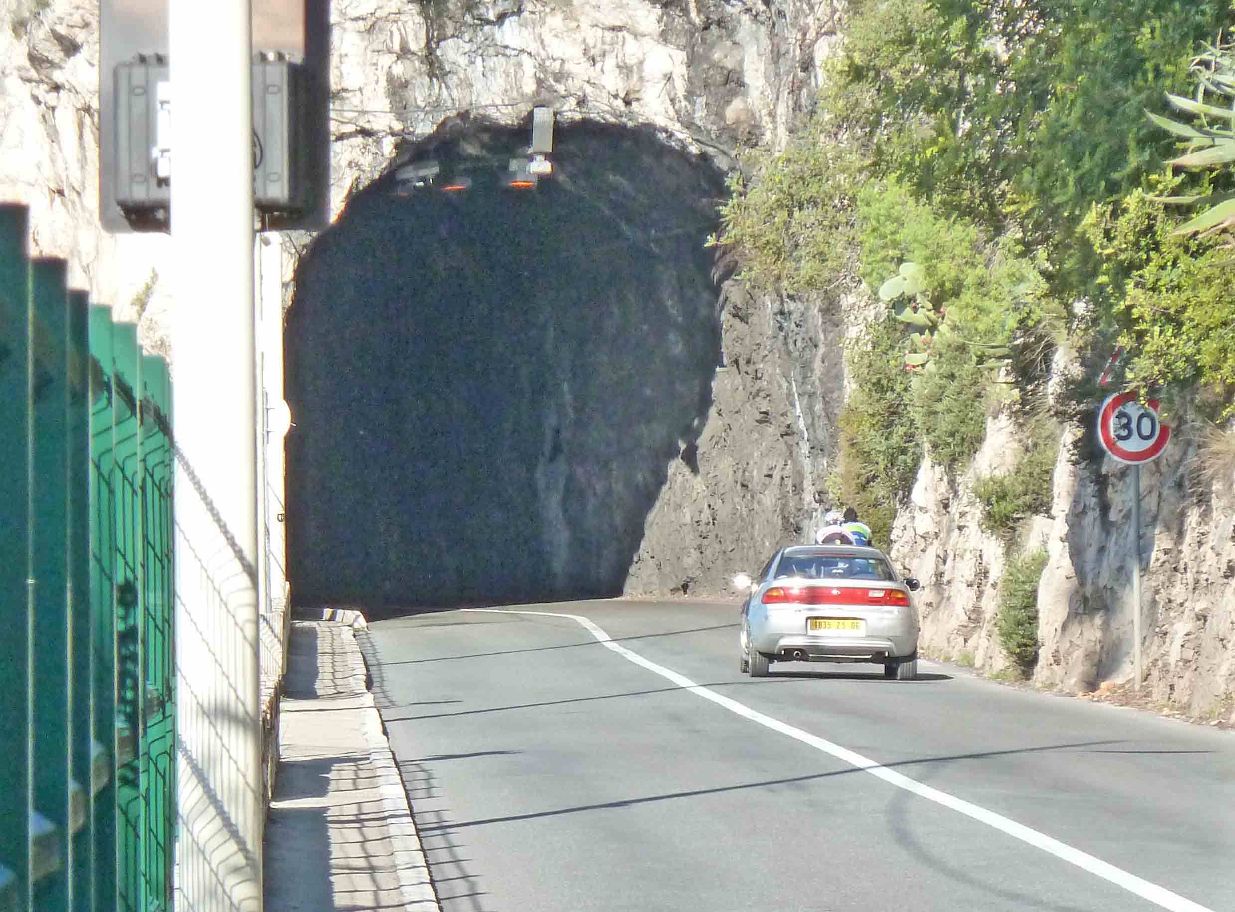
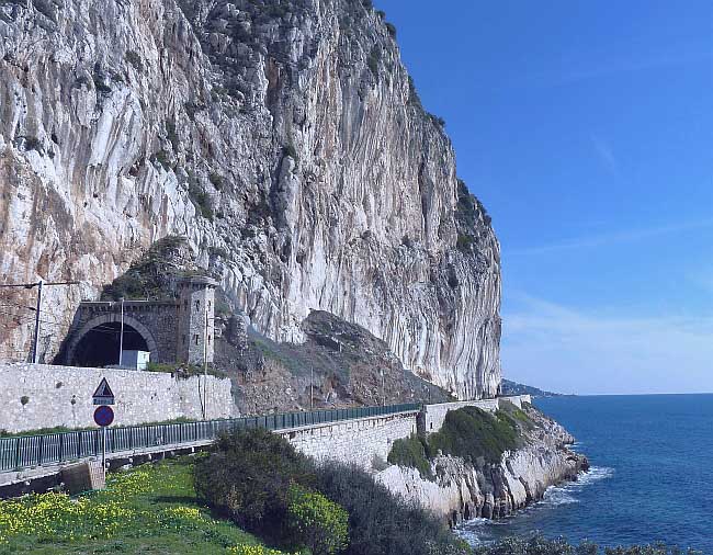
Today started with a hiking lesson that I never seem to learn. My initial intention was to follow the yellow-line highway (avenue du Trois Septembre) running from right to left on the map at the top of the page. But, for a more scenic, less trafficked route, avoiding at least three murky highway tunnels with narrow low sidewalks . . . I planned to take the blue line as far as the cape at bottom left, and to then take the beach past Eden plage (see map) and climb up to the highway somewhere beyond the the top left edge of the map. I thought I'd established the feasibility of this seaside route from maps and walking reports, and it was the reason I chose my overnight stop, having descended some 250 ft in height from the highway in preparation for it. Still, I then verified that my route was good by talking to two locals, who assured me there was no problem. Feeling important, locals like to advise strangers - but bear no consequences for their big mouths. My first hint at a problem was a danger sign and barrier blocking a steep staircase, but only half-heartedly, so I wriggled past and continued - right down to the beach on the west (left) of the map. And that's where I could look ahead and see that the beach past Eden plage, and the cliffs over the railroad, had eroded and were impassable. Some workmen at a nearby restaurant confirmed this. They even pointed to their supply boat docked nearby, as if no one in their right mind would arrive or leave any other way. The only practicaI alternative to backtracking on the "danger-signed" path that I'd arrived on . . was to exit on another "danger-signed" path to the northeast that rose on tiered staircases and steep lanes back to the highway above the cliffs. After a climb of 250 ft or so spread over a warm half hour, I emerged - out of breath and sweating - near the Hôtel Miramar which was almost at the point on the highway that I had started yesterday afternoon to descend to the start of today's hike! I had hoped to be a mile or more west of the Hôtel Miramar by now. Incidentally, this highway is named avenue du trois Septembre for the day in 1939 that France and Britain declared war on Germany. The extra two miles or so - and the exertion involved - thankfully didn't affect arriving by lunchtime at today's close-by destination of Beaulieu-sur-Mer after covering 6 miles. Today would have been a cakewalk if it were not for my detour. In fact, I could have reached Beaulieu-sur-Mer last night if I'd really wanted, but I was taking it easy on the first day of the hike. So what were the lessons? Never believe locals? Never follow unestablished routes? Never ignore warning signs? I'm inclined to believe all three, except that they tend to rule out some of my more challenging and interesting hikes. Which is probably why I break the rules. But, as the map makes obvious, this experience wasn't Hobson's finest hour. Aside from the pictured tunnel, another more significant and half-mile-long road tunnel (Tunnel de Cap Estel) lay further west, not shown on this cropped map. The overall map showed you could bypass that tunnel by taking an above ground detour to the south - the old road. But that tunnel turned out to have a generous sidewalk and was well-lit, whereas the detour was signed "no-entry". So I watched what the bikers did, and they survived the Tunnel de Cap Estel like canaries happily chirping away in a healthy coal mine, meaning that I could safely use the tunnel also. Bikers, though a lesser breed than hikers, serve their purpose on occasions. Then,
just before reaching my destination of
Beaulieu-sur-Mer, the road paralleled the sea (on the left)
and some towering cliffs (to the right). These cliffs seemed ready to
spawn a landslide which would hit the road for sure - as, in fact, has
previously occurred. Today,
quite large, fresh boulders had already dropped. Statistically, one
would
be unlucky to get hurt here. But it felt better
putting these
cliffs behind. |
 |
 |
 |
| Start Intro Day A1 Day A3 |
© 2013 Daryl May |