| Hike Northbound through
Britain with Daryl May Click for Southbound hike |
|
| In and around Berriedale | |
 |
|
 |
|
| Days N45 - N56 Scottish Highlands | |
| Northbound Home Start hiking here English West Country English Midlands North of England Southern Scotland Central Scotland Scottish Highlands Southbound Home |
Monday, May 14, 2007
Time of departure: 8.15 am Time of arrival: 3.30 pm Place departed: Helmsdale, Highland Place arrived: Dunbeath, Highland Miles: 17.1 Cum miles: 888.8 Percent complete: 95.8  Toremore Farm
B&B, Dunbeath ** Toremore Farm
B&B, Dunbeath **Cost for bed and breakfast: £20 ($40) |
| Overview of both
hikes Excerpts Statistics What others say Acknowledgments Contact me Copyright Links |
|
 |
|
| Blue
skies greeted me at my bedroom window when I woke. The weather
forecast spoke of sun too. So I applied sunscreen when I got
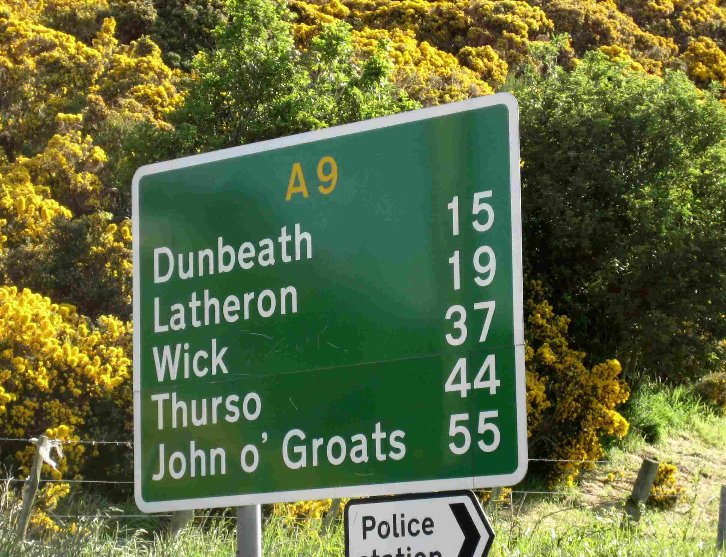
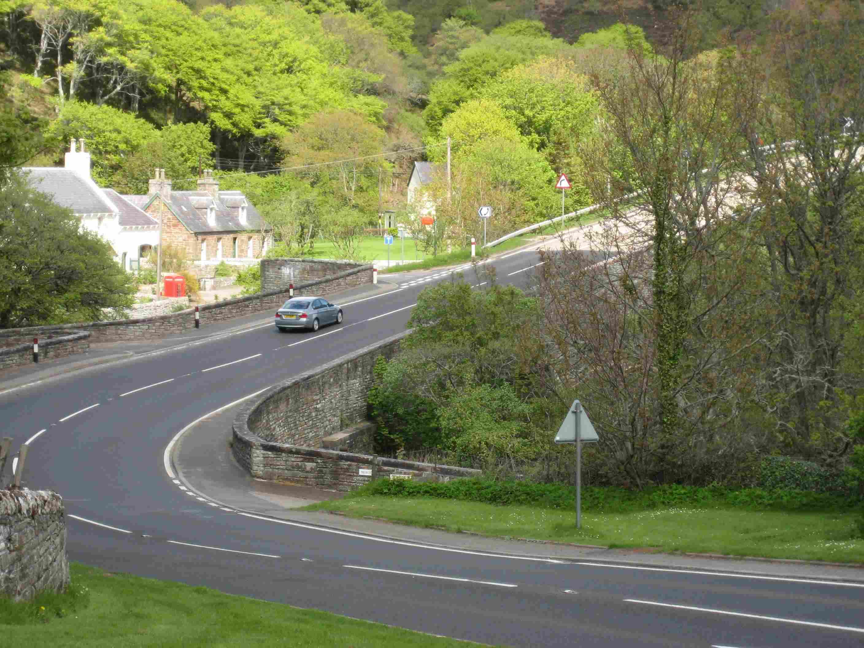
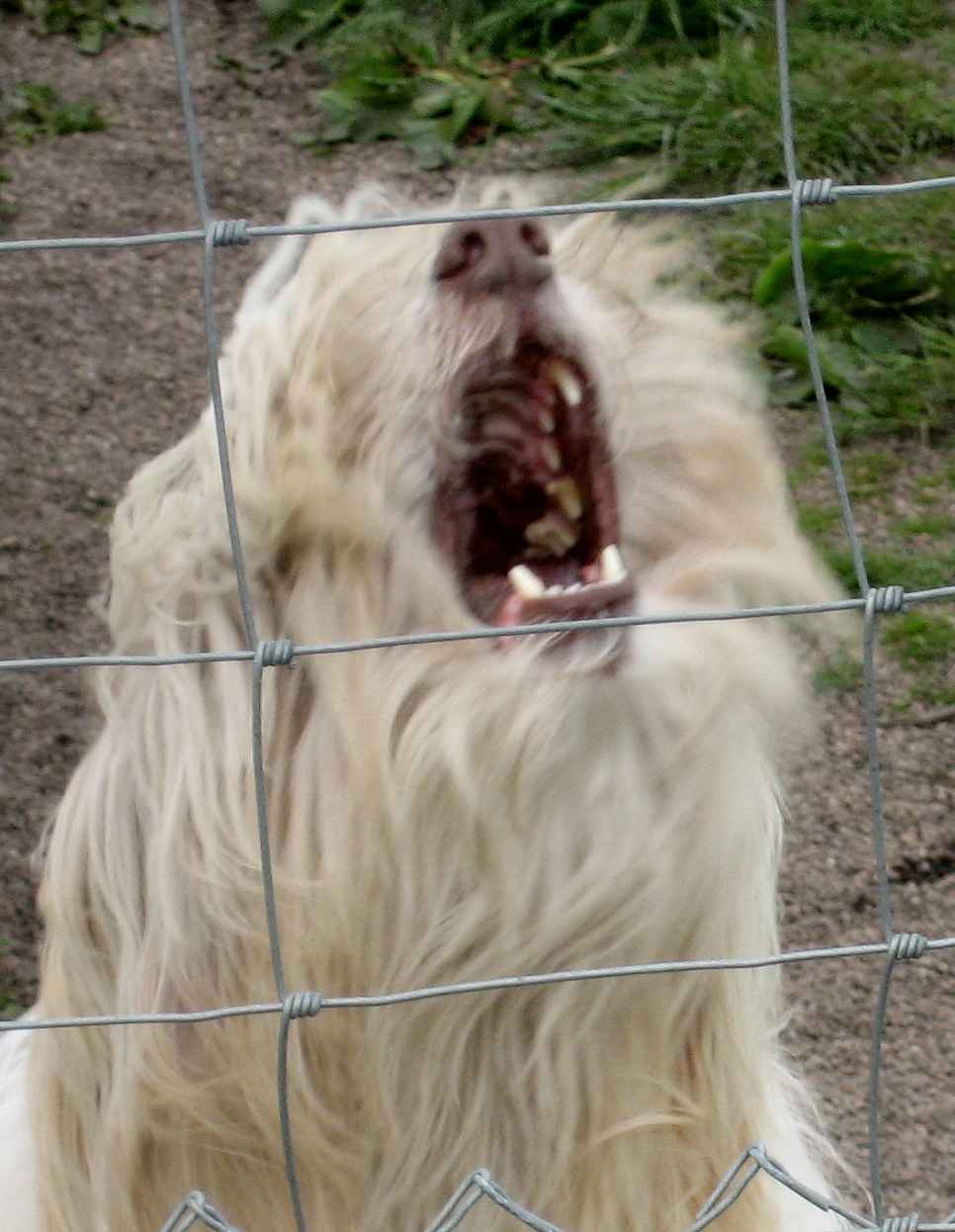
up. There was a seriously heavy-duty hill north of Helmsdale – a steep grade that lasted for two to three miles as it ascended along coastal hills to about 600 ft. A fine view of the North Sea emerged, oil rigs and a wind turbine on the horizon. A V-formation of birds could be seen below me. I passed a road-closure gate that is employed when snow makes the road dangerous in winter, but I quickly dismissed it as irrelevant in mid-May. Not so fast, Hobson! Minutes after passing that gate, rain and hail arrived, and with the wind it was perishing cold. I had to remove my backpack and parka to don my raingear, which made me even colder in the process. That was the end of truly sunny skies and any warmth today, though it did dry up. I could now more easily see why they might need to close this very exposed road. There were tall poles as highway markers all along it to show the route after deep snow arrives. There are few obstacles to snow drifts. About five miles from the top of this climb, there was a 13-percent descent for a mile or so into the village of Berriedale at sea level, followed immediately by a really steep climb again, this one with switchback (hairpin) bends, back to 500 ft. This climb fortunately only lasted for about a mile, also along coastal hills, and then I stayed at this height for another five miles or so until descending again to Dunbeath at close to sea level. Here my farmhouse B&B was a mile north of town, which accounts for my mileage being greater than the nominal between Helmsdale and Dunbeath. Except for a modest climb and descent just short of John o’Groats, I had passed all the hills on this hike. Looking back, though, those in Cornwall and Devon remained carved into my psyche as the real pain-markers. After Berriedale, I met some dogs - but was there a difference? Did the yapping have a Scottish brogue to it? Though they opened their mouths as wide, I remain convinced that Scottish dogs were friendlier than English ones, just as north of England dogs were friendlier than those more south. On the outskirts of Dunbeath, I ran into Eve Wallis. She was training locally (she lives near here) for her own end-to-end walk, probably a year from now. She seemed pretty knowledgeable about it all, and I bet she succeeds. After all, she's done some serious hiking in New Zealand and South Africa. When I reached Toremore Farm B&B, Mrs. MacDonald made me a nice cup of tea. My room was upstairs, and a communal bathroom shared with three other sets of guests was on the ground floor. Seizing my chance, I took a bath while the bathroom was unoccupied and the water was hot. The bedroom was freezing, though, and there was nowhere to go that didn't require boots and hoofing it on the main road for quite a distance. So, if only for warmth, I climbed into bed before 6 pm and wrote my journal there. By my calculations, there were 41 miles to go. The weather forecast said rain was coming. Maybe it’s because of global warming? |
|
| Day N53 © 2007 and 2008 Daryl May Day N55 | |