| . Hike Northbound through Britain with Daryl May Click for Southbound hike . |
|
 |
|
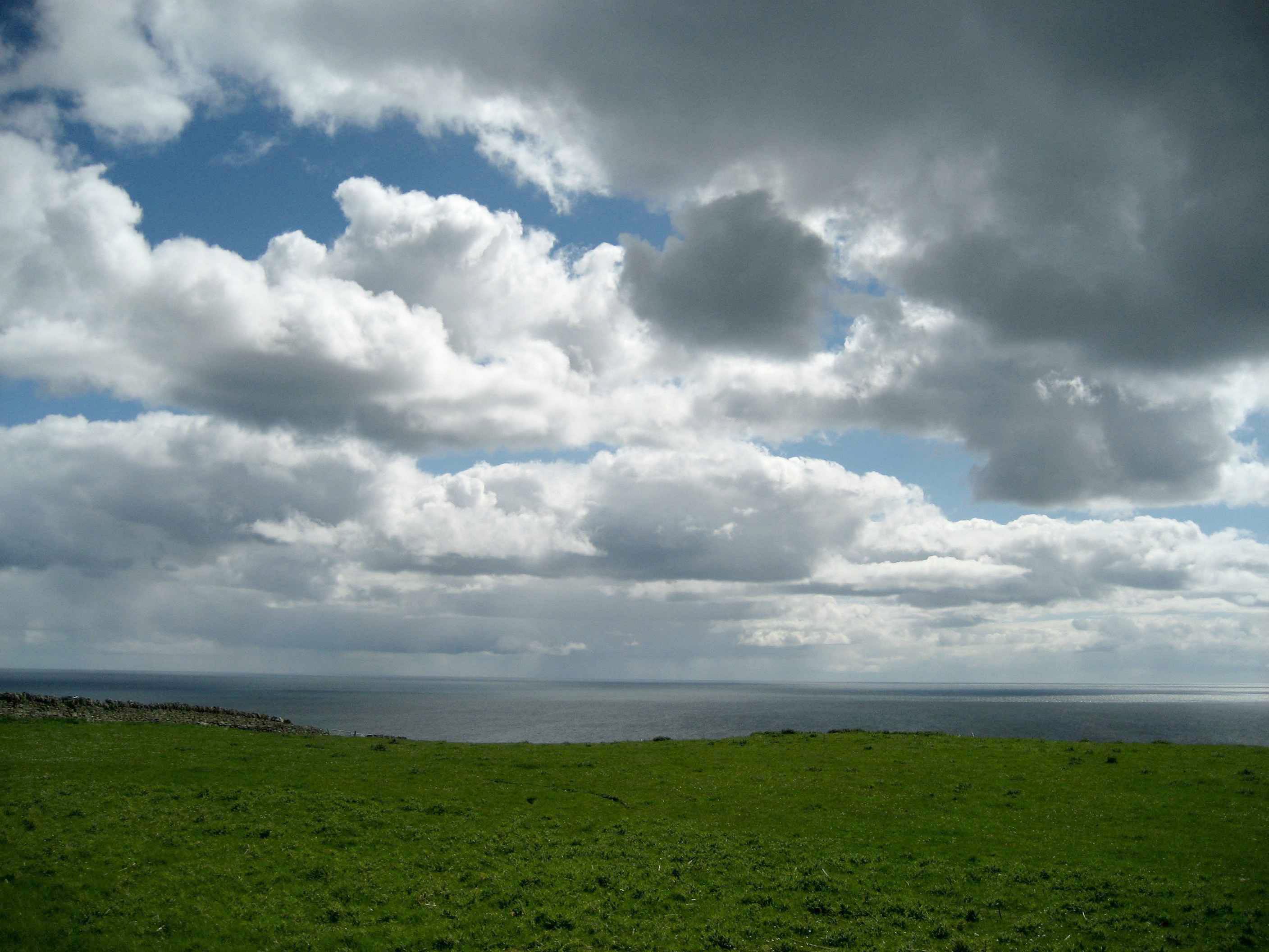
| Scottish Highlands | |
Northbound Home Start hiking here English West Country English Midlands North of England Southern Scotland Central Scotland Scottish Highlands Southbound Home |
 |
| Overview of both
hikes Excerpts Statistics What others say Acknowledgments Contact me Copyright Links |
|
|
Day N55 Day N56 |
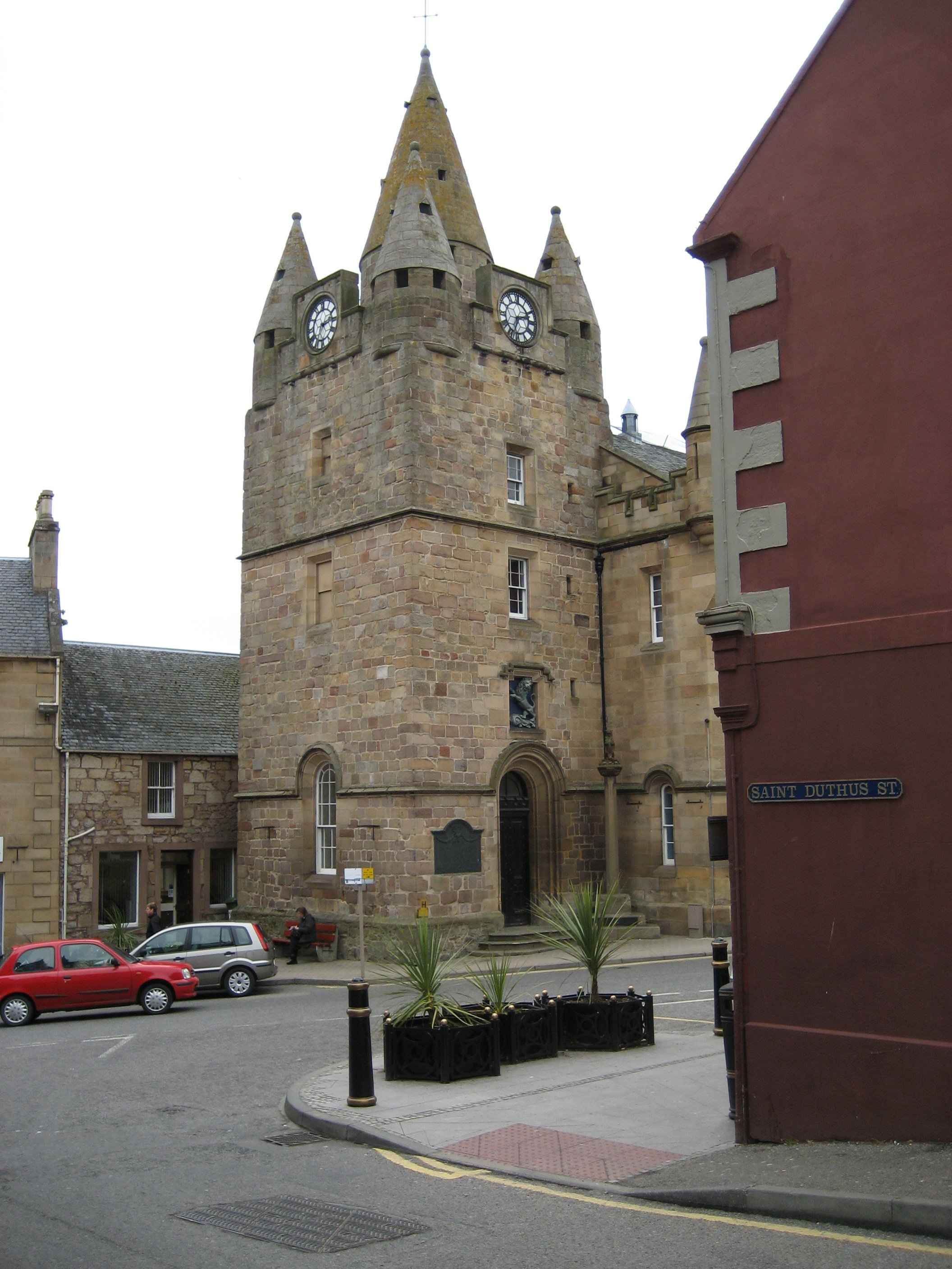
Into the Highlands Tummel Bridge - Balsporran Cottages Gale-force in the Grampians Balsporran Cottages - Newtonmore Anatomy of a backpack Newtonmore - Aviemore Slogging over Slochd Aviemore - Tomatim Soaked in Inverness Tomatin - Inverness A nice lunch in the dry Inverness - Alness A collapsing bridge Alness - Tain Bourke-Stewart returns Tain - Golspie The little port of Helmsdale Golspie - Helmsdale The last hills Helmsdale - Dunbeath Introspection about aches Dunbeath - Wick The finish Wick - John o' Groats |
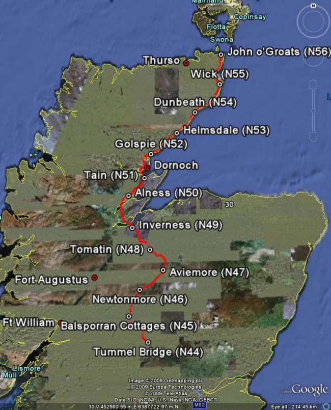
Scottish Highlands map. Read from bottom up. For an idea of
scale, each day's hike was about 17 miles.
Click here for a zoomable map of this region. The map was produced using Google Maps and Google Earth. . |
|
 |
|
| . ©
2007- 2009 Daryl May
. |
|